
This monitoring report presents the 2024 baseline assessment of flora and vegetation along selected sections of the Pianton watercourse in Mogliano Veneto, Veneto Region, Italy, within the framework of the NATALIE Project. The study was conducted before the implementation of planned Nature-based Solutions (NBS2) and riverbank reinforcement measures (ROC) and provides a detailed characterization of riparian and aquatic plant communities. Surveys were carried out between spring and summer 2024 across 16 georeferenced monitoring plots distributed in four intervention sectors. Floristic inventories, phytosociological surveys following the Braun-Blanquet method, and vegetation mapping were used to document species composition, vegetation structure, and habitat conditions. The report identifies 56 plant species, including hydrophytes, helophytes, grassland species, and invasive taxa, and highlights the ecological potential of riverbank regrading measures to enhance wetland habitats, biodiversity, and phytoremediation functions. The results provide an essential ecological baseline for evaluating future NBS effectiveness under the NATALIE Project.
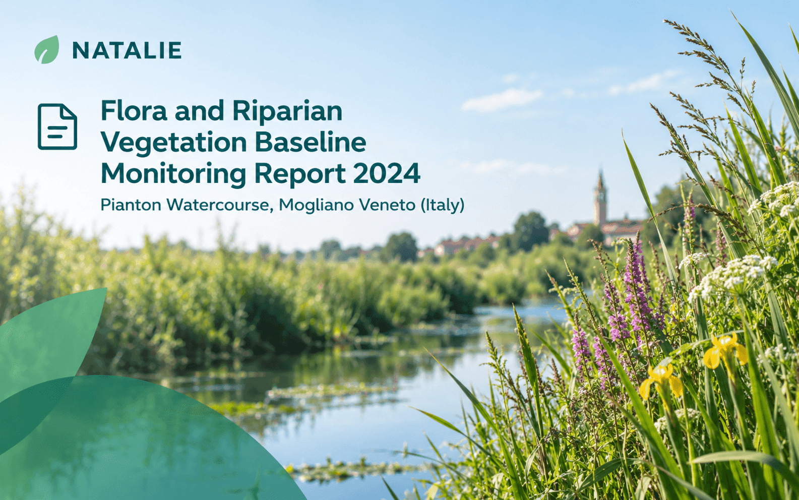
Flora and Riparian Vegetation Baseline Monitoring Report 2024 - Pianton Watercourse, Mogliano Veneto (Italy)
Description
The report documents the ante operam ecological monitoring of flora and vegetation along approximately 3 km of the Pianton watercourse located in Mogliano Veneto, Veneto Region, northeastern Italy. The monitoring was undertaken as part of the NATALIE Project (NATure-based solutions to enhance resiLIEnce to climate change), which promotes transformative Nature-based Solutions to improve climate resilience across European regions. The surveyed sections correspond to areas where future riverbank regrading works (NBS2) and conventional rock-reinforcement interventions (ROC) are planned.
Field surveys were conducted during May and July 2024 in sixteen georeferenced plots distributed across four intervention sectors (ROC-A, NBS2-A, ROC-B, and NBS2-B). The methodology combined comprehensive floristic inventories with phytosociological analysis based on the Braun-Blanquet vegetation survey approach. Species presence and cover were recorded, vegetation communities were classified according to recognized phytosociological frameworks, and a vegetation map was developed using field observations, drone imagery, and geospatial analysis.
The monitoring identified 56 plant species associated with riparian, aquatic, grassland, and ruderal habitats. Dominant vegetation was characterized by semi-natural grassland communities linked to the Arrhenatherion elatioris alliance, particularly the widespread presence of Arrhenatherum elatius. The lower banks also supported wetland-associated communities belonging to the Phragmito australis-Magnocaricetea elatae class, including species such as Phragmites australis, Typhoides arundinacea, Carex acutiformis, Carex elata, Glyceria maxima, Bidens tripartita, and Lycopus europaeus.
Aquatic vegetation surveys recorded hydrophytes such as Vallisneria spiralis and Potamogeton pectinatus, which provide insights into water quality and ecological conditions. The report also notes the presence of invasive alien species including Ludwigia peploides and Cyperus esculentus, both relevant for future ecosystem management and monitoring activities. Findings suggest that planned NBS interventions, including bank reprofiling and the creation of shallow benches, could significantly expand habitat availability for hydrophilic vegetation and improve biodiversity and phytoremediation processes.
This resource serves as a baseline ecological monitoring report for researchers, environmental authorities, river basin managers, ecological consultants, restoration practitioners, and NBS professionals. The document provides a robust reference dataset for evaluating post-operational ecological responses, supporting adaptive management and evidence-based assessment of Nature-based Solutions within freshwater and riparian ecosystems.